|
|
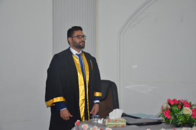
Master thesis in university of technology discuss the evaluation of precision digital model of elevations of the satellites to the regions of Shatra and unity |
Master thesis in university of technology discuss the evaluation of precision digital model of elevations of the satellites to the regions of Shatra and unity
Researcher showed Model digital heights is one of the important tools in civilian applications such as studying climate, urban planning and civil engineering works in general, and many applications, as Model uses digital elevations for military purposes, and the production of contour maps.
It was in this research assess the accuracy Digital Model elevation producer of thermal beams of the satellite "ASTER" radar beams "X, C" Space Shuttle "SRTM" to areas of study in Shatra spend in Dhi Qar province, as well as the precise evaluation of the model of digital elevations product of a pair of overlapping images obtained from satellite "W.V02" the study area unity hand in Baghdad province.
Researcher showed that the most appropriate way of accuracy in the production of a digital model of the data available in the district of Shatra hand is a way "Invers distance to power". As for the second study site in the unit state was hand way "neighbor natural" It is the best way to produce a model of digital elevations. This is due to the different points of the method of selecting sites, distribution and intensity of those points.
|
|
